Orientation with compass: Part 2

Circulate
It happens, that in the orientation simply can not go on. Falling down and crying helps only for a moment. The simplest way to circumvent an obstacle, is to find an auxiliary target on the other side. So lace up your shoes and make a path around. On the other site just kept running on auxiliary objective way.

If the obstacle larger (village, mountain, hill), then it is most effective when it 90 ° to the right or left turns and then runs until you have passed the obstacle. Importantly, the steps to remember, that were used for it. Then one turns back 90 degrees in the other direction and running, its basic number of steps following, continue until you get to the obstacle over. Then one turns back 90 degrees and passes through steps back, to get back to the basic line. Now you can walk quite normally.
Distance Measure.
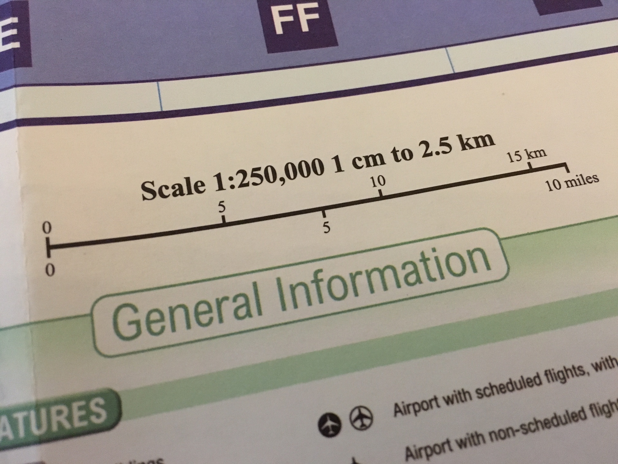
First you have to be clarified what scale has the map. As a result, how much centimeter on the map correspond to what distance in the terrain. This information can be found in the map legend. Knowing the distance to the destination, you can determine the number of steps, the distance traveled.
The easiest way is a pedometer. The 08/15 solution has 10 knots. Here you have to hold the line constantly in your hand, so that one does not come with the partial steps mess. Another solution are small stones that can change every hundred meters from one pocket to another. Have all the bricks changed sides, one kilometer is covered. Another method is to pack 10 cord stopper on a cord. These are the things that hang at the end of the hood line of hoodies. These are pushed every hundred meters down a bit. The advantage: It has to be noted or noticed anything.
Determining the doublestepnumber
It lies in its simplicity, to orienting by hundreds steps. So that is as accurate as possible, must also be clear without helpings how far must be run for hundreds of meters. For this purpose, you grab your backpack (here it is advisable to pack the backpack as for trip), and goes on a sportsfield (there has practically anyone ever measured the distance) one hundred meters and counts the double steps. This is the value that applies no load. This is repeated after two to three rounds were jogging around the sports ground. The last simulates the value that is realistic uphill or after exercise. This is not an exact science but more accurate than guessing. Namely, when after 1200 meters is still not reached the point which should be reached at 1000 meters, it is to stop at the time and look around.
Look Around
Granted, 200 meters might be a bit far. In any case it should be run from that point of 90 ° to the left and right to look around if the target has not been missed. But it should be known what is wanted. If the search is unsuccessful, the option is likely to have lost.
got lost?
If this is first admitted, there is only one solution: back to where it was last time sure to be right. This is painful but inevitable. For this reason, the path should always have several intermediate objectives. To ensure that no tree is meant standing randomly in the way, but distinctive points, which can be found in the map. It is better to deviate a few degrees by the direct route, if you thereby gaining security.
Back to Part 1 after marching compass orienting number

Leave a comment